Outsource topographic maps services to Flatworld Solutions for accuracy, speed and cost-effectiveness.
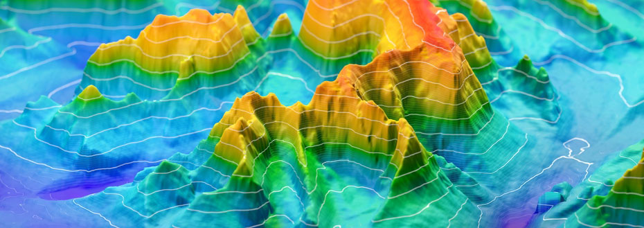
Flatworld's 3D topographic mapping brings you affordability and precision in the relative heights of map objects and their distribution over targeted areas. From raster topographic files, we compute vector maps with distances, angles and contour lines to represent the elevations. The vector format opens up additional possibilities for zooming without any significant loss of accuracy. Different map objects and features can be digitized in separate layers, allowing a variety of individual sub-maps to be produced. Examples are contour and boundary lines, vegetation, water, forest and habitation areas, and roads and rail links. When you outsource topographic mapping to Flatworld, you get the reliable information you need for volumetric calculations and change detection for updating topographic maps as the real world changes. Our topographic mapping services help route and transportation planners, telecoms and network providers and disaster management agencies, among others.
Flatworld's Topographic Mapping Services
With many industries and activities depending on accurate mapping, Flatworld services represent an excellent combination of quality and cost-effectiveness. We also produce topography maps to individual customer requirements.
Compliance with industry data standards, such as Open Geospatial Consortium (OGC)
Reader-friendly topographic map production - for instance, feature names with size aligned to significance
Consistency of feature names and symbols across series of topographical maps
Viewing optimization, for example through smoothing of line type features such as roads, railway lines, and rivers
Associated Services Include
The Advantages Offered by Flatworld Topographic Mapping Services
Flexible topographic mapping services according to your budget, deadline and accuracy criteria
Generation of topographic maps from your survey data and a variety of survey data types including aerial photography, laser and radar-based ranging and 3D laser scanning
Extensions of topographic mapping to produce digital terrain models (DTM), digital evaluation models (DEM) and triangulated irregular networks (TIN) for geographical information systems (GIS)
Support for multiple image file formats (TIFF and GeoTIFF) and data file formats (Shape and IFF formats)
Cost-effective map update service to ensure that your base mapping data remains as accurate and as fresh as possible
Serving Civil Engineering Teams with Topographic Mapping and Related Services
Digital topographic maps are also important as a starting point for other mapping applications. Besides providing fundamental geospatial and geomorphological input for geographical information systems (GIS), they form a base for the production of maps to pre-plan operational sites for access (DEM) and to control construction and landscaping equipment (DTM). A solid, tested, high-quality sequence of mapping operations is therefore crucial. Flatworld's skilled engineers and technicians check our processes at every stage. Our services make sure that survey information has been properly prepared and corrected or adjusted for consistency, as required. Our staff uses both advanced topographic mapping technology and systems, and their own expert judgment to produce digital topographic maps corresponding to your criteria.
Outsource topographic mapping services to Flatworld Solutions.
Avail best-in-class services at affordable rates
Our Customers


Key Differentiators
Case Studies
-
Flatworld Solutions provided customized CNC programming using MasterCAM
-
Flatworld Provided CFD Simulation Services to a Leading HVAC Products Manufacturer
-
Flatworld Solutions Offered Mechanical Instrument Drafting and Detailing Services to an Engineering Consultant
-
Flatworld Solutions Offered US Client with 2D to 3D Mechanical Legacy Drawing Conversion
-
Flatworld Solutions Provided Reverse Engineering of Machine Parts to a Client
Join the growth phase at Flatworld Solutions as a Partner
Service distributorship and Marketing partner roles are available in select countries. If you have a local sales team or are a person of influence in key areas of outsourcing, it's time to engage fruitfully to ensure long term financial benefits. Currently business partnerships are open for Photo Editing, Graphic Design, Desktop Publishing, 2D and 3D Animation, Video Editing, CAD Engineering Design and Virtual Walkthroughs.
Reach out to us for a quick direct response from decision makers at the Flatworld Solutions global team.

USA
Flatworld Solutions
116 Village Blvd, Suite 200, Princeton, NJ 08540
PHILIPPINES
Aeon Towers, J.P. Laurel Avenue, Bajada, Davao 8000
KSS Building, Buhangin Road Cor Olive Street, Davao City 8000


